DoA activity

1928, the independent Jordanian Department of Antiquities (DoA) was established. Soon afterward, in 1934, the first antiquities law in Jordan was issued. After the days of travelers in the 19th and early 20th centuries, a new phase in the country's exploration began. New government administration started working to spread the systematic care of antiquities. In the DoA archives (vol. S: p. 20 [unpublished]), there is a short note left by G.L. Harding (director of the DoA from 1939 to 1956) dedicated to a site ():
“From Wadi Sir proceeded to Khirbet Sar, the most prominent site in the neighbourhood and perhaps the most important. Being a ‘Flint’ site it is, like others of the same nature in the district, entirely absolved from damage by stone-quarriers or the encroachment modern dwellings. The most prominent feature of the site is a large megalithic monument, a Kusr, built of huge flint blocks which may be attributed to the late Bronze and Archaic Iron ages and immediately to the east of same are eight semi-circular arches (four on each side of a ruined building) of well dressed white limestone blocks, obviously the handiwork of a later epoch, probably Roman or Byzantine.”
G.L. Harding
It is difficult to say whether Lankester personally visited the site and, if so, when it was. Perhaps between 1939 and 1956, when he acted as DoA director. However, the fact that he mentions only eight arches (instead of the 16 now visible) suggests that he took this information from an earlier description by Conder (1889, 153).
The site is coded as JADIS 2215017 (The Jordanian Archaeological Data Information System) and MEGA-J 11304 (Middle Eastern Geodatabase for Antiquities, Jordan) in the DoA databases (http://www.megajordan.org).
Three official field surveys


IFAPO survey
In 1983, the site was part of a detailed survey focused on the area surrounding Iraq al-Amir (west of Amman) and conducted by F. Villeneuve (2020) on behalf of the French Archaeological Institute IFAPO (the present IFPO) (). However, the results of this research were not published until 2020, just two years after archaeologists from the University of Warsaw began systematic fieldwork at Khirbet es-Sar (see below). However, the publication should appreciate the relatively detailed plan of the monumental area (), illustrated examples of pottery collected on the surface, and photos of several elements of architectural decoration.
La Sierra University survey
In 2000, Chang-ho Ji of the La Sierra University investigated the Khirbat as-Sar (labeled as Site 210) in the survey, covering Iraq al-Amir and Wadi al-Kafrayn regions. His report written for the Department of Antiquities focuses on the "qasr" and the courtyard to the east of it, providing them the new measurements, however, with no attempt to seize the layout of the compound. He also observed "at least two to three large building complexes on the eastern and southern areas of the site." The potsherds found by the survey team dated to the Hellenistic– Roman, Byzantine, Early Islamic and mid Islamic periods (Ji 2000).
PCMA survey

Finally, the team from the Polish Centre of the Mediterranean Archaeology (PCMA), University of Warsaw, conducted an archaeological survey and geophysical investigation at the site between March 8 and 28, 2018 (DoA permit no. 2018/4). The fieldwork was devoted to non-invasive research within the 16.000 square meters fenced by the DOA (a part of the ancient site lies outside the fence).
Geophysical investigation using the electric resistivity method detected architectural remains concealed under the ground, while all the walls' remains still visible on the surface were mapped using a tacheometer. The combined results of the two methods produced the first, albeit preliminary and limited to the fenced area, site plan. It is clear that the structures surrounding the "qasr" follow the exact alignment. On the contrary, south of the qasr, the walls have a more random orientation, probably reflecting different phases of site occupation ().
The pottery gathered from the surface during the survey suggested the site's occupation was from the Persian period (perhaps even the Iron Age) through the Middle Islamic period. Architectural elements visible on the surface were also documented ().
Preliminary chronology
The survey made it possible to propose a preliminary chronology for the site as follows:
- Iron Age: the "qasr" and presumably some potsherds found on the surface;
- Persian period: no remains or artifacts have been identified;
- Hellenistic period: possibly "rusticated" blocks re-used in the Roman structure and some potsherds found on the surface;
- Roman period: addition to the "qasr" of a vestibule and a square courtyard, with two rows of arcades added in a later period;
- Byzantine and/or Umayyad period: some changes and additions to the north of the courtyard; many walls and potsherds all around the site.
- Medieval period: abundant pottery finds are soundproof that the site was still inhabited during the Mamluk period (13th till early 16th century).
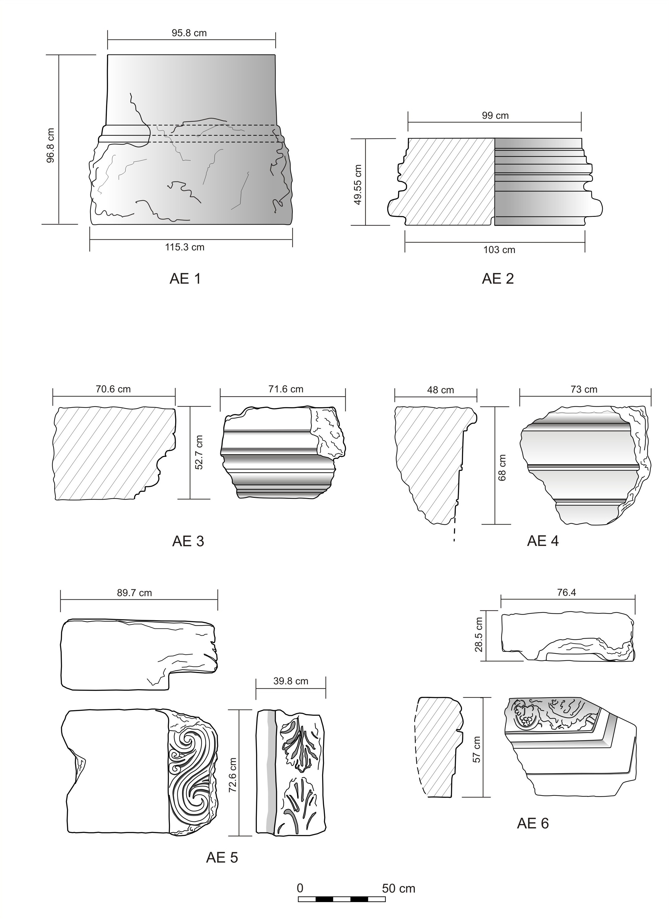
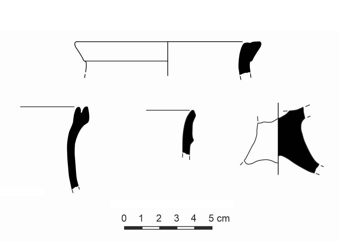
Examples of pottery collected during the survey; chronological range from the Iron Age to the Mameluke period (drawings M. Burdajewicz):
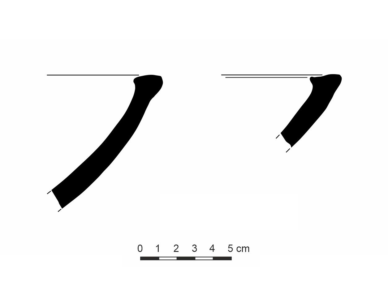
Iron Age pottery
Plain wares: Roman and Hellenistic

Fine wares: Roman and Byzantine

Fine wares: Roman and Byzantine

Cooking vessels of Roman and Byzantine date

Late Roman/Byzantine to Umayyad(?)

Umayyad (into Abbasid?) painted pottery
Medieval glazed pottery
_1.jpg)
Painted pottery (Mameluk period)
_2.jpg)
Painted pottery (Mameluk period)
First trial excavations by PCMA team
To verify the survey's preliminary chronological observations, the PCMA team conducted a short excavation season between 7th and 27th March 2019 (DoA Permit no. 2019/5). Three trenches were opened in the eastern part of the courtyard of an architectural compound preliminary identified as a Roman-period sanctuary, the plan of which was mapped during the survey of 2018 ().
Trench Sq1 was situated roughly on the long axis of the courtyard (). It revealed a massive north-south wall, with a series of floors abutting it on the east. All the floors except the lowermost one were dated by abundant pottery to the Mamluk period, 13th-15th century AD (). The excavated space was bisected by a narrow east-west wall of the Mamluk period.

compound with the location of the trenches (drawing
Anna Kubicka)

Kubicka)

on both sides of the E-W wall; view from the
southeast (image by Jolanta Młynarczyk)
However, the analysis of the construction of the massive north-south wall revealed an original Roman-period part, possibly pertaining to a gate that would lead into the sanctuary courtyard (), and its extension to the north, constructed with the use of Roman spolia, probably in the early phase of the Mamluk period. The lowermost floor in this trench, connected with the original construction, can safely be dated to the Roman period (2nd century AD?) on the basis of pottery finds ().

founded on a Roman-period layer; view from the northeast
(image by Jolanta Młynarczyk)

Trench Sq2 was opened before the easternmost arch preserved in the southern row of courtyard arcades. By their style of execution, the arches belong to the Roman period. The exploration of this particular one reached the original level of the courtyard, exposing a massive stylobate on which the arch was constructed ().
It also revealed two significant phases of re-use of the space sheltered by the arcade. In the first phase, this space was separated by two north-south walls abutting the piers of the arcade and by a back wall, closing the original passage. This back wall was initially provided with a door, the lintel block of which, with a cross in shallow relief, had been re-used from some Christian structure ().

northwest (image by Jolanta Młynarczyk)

Islamic-period alterations including a re-used lintel with
engraved cross (image by Anna Kubicka)
In the second chronological phase, also the door was blocked. Despite the clear Roman origin of the arch, the floors connected with the usage of this room, which must have served either as a habitation or a workshop, yielded pottery of the Medieval period. Specifically, the lower floor (pertaining to the first phase of the re-use of the arch) yielded terracotta oil lamps of the 9th-11th century AD accompanied by domestic pottery. The upper floor, probably contemporary with the blocking of the door, seems to have been from the Mamluk period. Finally, roughly at the level of the cornice of the arcade piers, a Bedouin (?) burial was arranged in a narrow space between the blockage and a row of upright slabs; it contained bones of four adults, badly disturbed by tomb robbers, doubtlessly in the modern times.
Trench Sq3 – a small trench was opened at the outer side of the corresponding arch (apparently damaged) in the northern row of the arcades. It revealed a corner space between the arcade and a north-south wall, possibly closing the courtyard on the east (). The uppermost habitation level attested by the find of an almost complete painted jug (amphora?) apparently in situ ().

Jolanta Młynarczyk)

(image by Mariusz Burdajewicz)
To sum up, the exploration results in all three trenches testify to a dense habitation of the site in the Middle Ages, especially in the Mamluk period, when the earlier Roman structures were primarily used. Instead, the absence of Byzantine and early Islamic remains, which may have been situated in other parts of the original Roman-period compound, is striking.
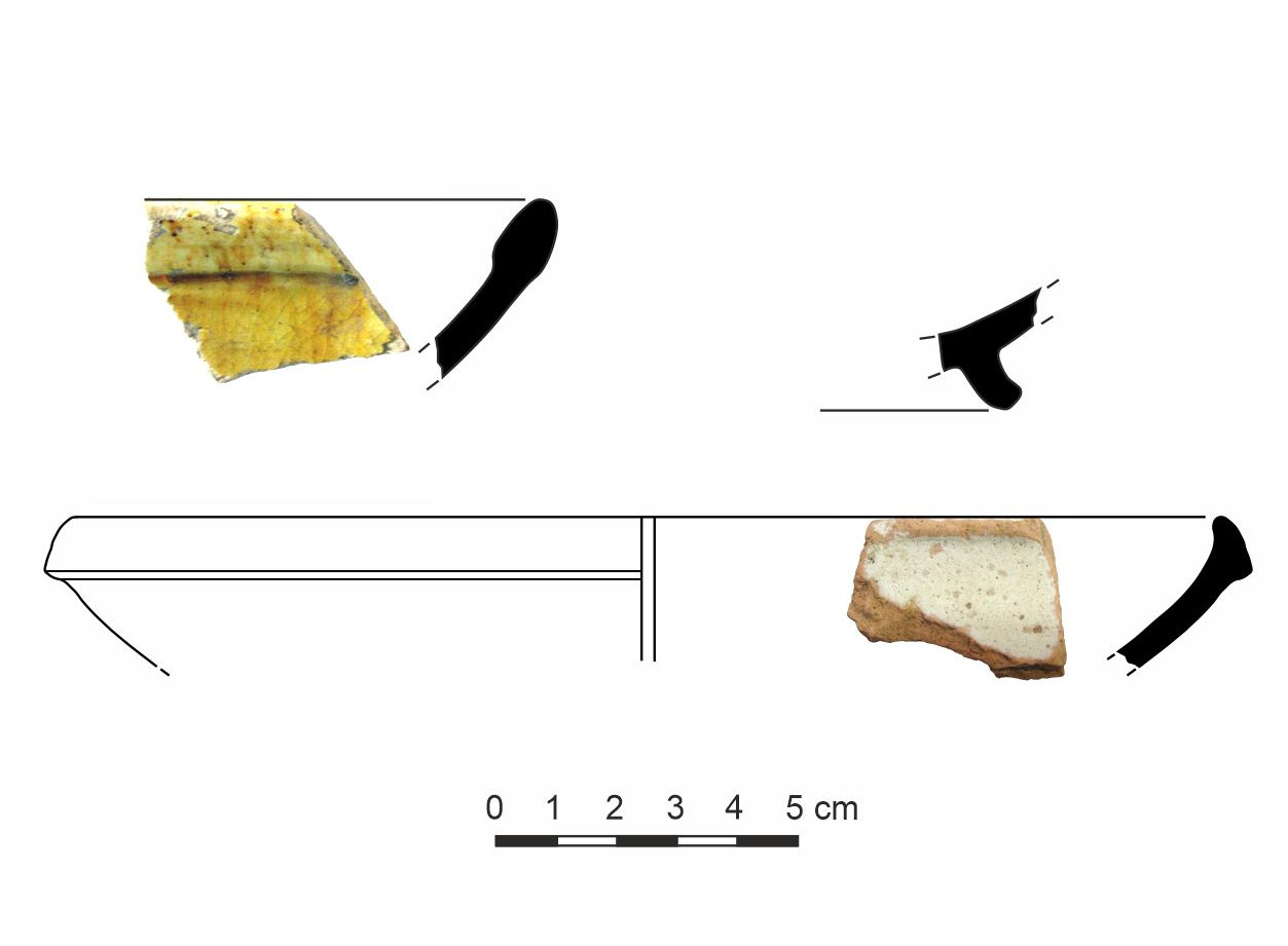
Select pottery from Trenches Sq1 and Sq2 (drawings Mariusz Burdajewicz):

Pottery of the Ayyubid-Mamluk period from the uppermost layer of Trench Sq1

Pottery of the Ayyubid-Mamluk period from the upper layers of Trench Sq1

Fragmentary oil lamps from the upper layers of Trench Sq1

Pottery from the lowest layers of Trench Sq1

Pottery from the lowest layers of Trench Sq2

Oil lamps found on the floor of the first Islamic re-use of the arch in Trench Sq2